
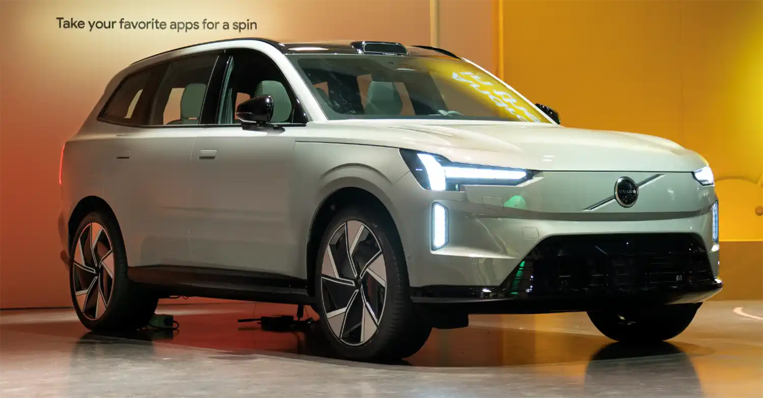
In our upcoming Volvo EX90, lidar, cameras and radars come together to understand your car’s surroundings and help keep you safe. To further improve our assisted driving technologies and eventually reach autonomous driving in the future, we also need a way to recognise your environment at detail – both immediately in front of you and at longer distances beyond the twists and turns ahead.
Enter Google’s HD map – a comprehensive map designed specifically for car makers that provides highly detailed and up-to-date road information.
Continuing our longstanding collaboration with Google, Volvo Cars and our strategic affiliate Polestar will be the first car makers to bring their HD map technology into our cars, starting with the recently unveiled Volvo EX90 and Polestar 3.
By integrating Google’s HD map, we will be able to bring together data from our industry-leading sensor set in the Volvo EX90 with Google’s precise lane-level and localisation data to facilitate assisted driving features like lane change assistance and Volvo Cars’ Pilot Assist technology, as well as future autonomous driving functionality.
“The addition of Google HD Maps in our future car line-up marks an expansion of our strategic collaboration with Google, reflecting our commitment to work with technology leaders,” says COO and Deputy CEO Javier Varela. “Implementing Google HD Maps in our upcoming cars will help us offer our drivers a more enjoyable driving experience and in future contribute to the introduction of safe autonomous driving.”
“Building on our long history of mapping the world, Google’s new HD map is designed specifically for automakers and provides comprehensive lane-level and localization data that is crucial to powering the next generation of assisted and autonomous driving systems,” says Jorgen Behrens, VP and General Manager of Geo Automotive, Google. “We’re excited to continue partnering with leading automakers like Volvo Cars to improve the safety and comfort of drivers everywhere.”
This road information combined with the data from the Volvo EX90’s lidar and other sensors will be processed through the car’s core computer system powered by NVIDIA DRIVE AI Platforms Xavier and Orin.
By combining data from Google’s HD map with information collected from our exterior sensors, including a lidar and software developed by safety software company Zenseact, we aim to create a more predictable, safe, and comfortable drive.
Google’s HD map will also support the introduction of our autonomous driving technology in combination with our sensor set consisting of a roof-integrated lidar, radars, cameras and ultrasonic sensors, to further improve the car’s understanding of its environment.
In the future, Google’s HD map will also support the introduction of our autonomous driving technology in combination with our sensor set consisting of a roof-integrated lidar, radars, cameras and ultrasonic sensors, to further improve the car’s understanding of its environment.
“Zenseact is proud to work alongside Volvo Cars and Google on the implementation of this game-changing technology for assisted, and later on, autonomous driving,” says Ödgärd Andersson, Chief executive officer of Zenseact. “It will play an important role in our journey towards zero collisions.”
The small print
- Google’s HD map will be available in cars with Pilot Assist.
- Volvo Cars’ Pilot Assist offer may vary depending on the market, model year and car model.
- Google, Google Maps are trademarks of Google LLC.